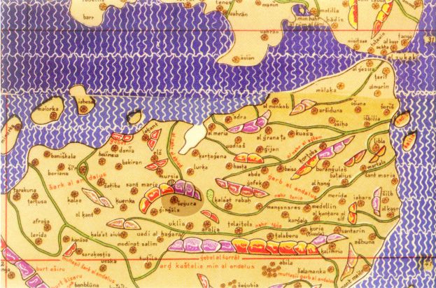
Mapping settlements of Muslim agricultural colonization in Europe applying GIS techniques
Este artículo en inglés analiza el paisaje definido por asentamientos rurales con restos andalusíes, construidos con la técnica del tapial en un valle situado en el sureste de la península ibérica. El objetivo de este trabajo es describir los diferentes puntos antrópicos de este particular paisaje medieval para contextualizarlos en la literatura histórica y exponer los principales patrones de comportamiento encontrados en la implantación de estos establecimientos con el fin de categorizarlos y clasificarlos. El desafío implica utilizar procedimientos que permitan una lectura macroespacial del territorio para medir de la influencia de las variables del paisaje. Para lograr este objetivo, se ha diseñado un método original e interdisciplinar que combina técnicas arqueológicas, históricas y arquitectónicas junto con un análisis multicriterio desarrollado en el entorno de los sistemas de información geográfica. Los hallazgos aportan un conocimiento significativo sobre las formas de poblamiento del territorio andalusí, el funcionamiento del sistema de nodos rurales y las relaciones entre asentamiento y colonización agrícola, arrojando algo más de luz sobre el complejo palimpsesto del paisaje.
—-
This paper analyses the landscape defined by rural settlements, with Hispanic Muslim remnants built in a rammed-earth technique in a valley located in the south-eastern Iberian Peninsula. The aim of this work is to describe the different anthropic points of this particular medieval landscape to contextualize them in the historical literature and then to expose, alongside the methodological innovations applied, the main behavioural patterns found in the implantation of these establishments in order to categorize and classify them. This challenge involves using procedures that enable a macrospatial reading of the territory and measurement of the influence of landscape variables. In order to achieve this goal, an original and interdisciplinary method has been designed combining archaeological, historical, and architectural techniques alongside a multicriteria analysis developed in the geographic information systems setting. The findings provide significant knowledge about the ways in which the al-Andalus’ territory was populated, how the system of rural nodes worked, and the relationships between establishments and agricultural colonization, shedding new light on the complex palimpsest of landscape.
Quesada-García, S. (2022). A cartography of al-Andalus’ landscape: Mapping settlements of Muslim agricultural colonization in Europe applying GIS techniques. Journal of Historical Geography, 77. https://doi.org/10.1016/j.jhg.2022.02.003
Andalusi medieval towers system in Segura de la Sierra (Jaén, Spain)


